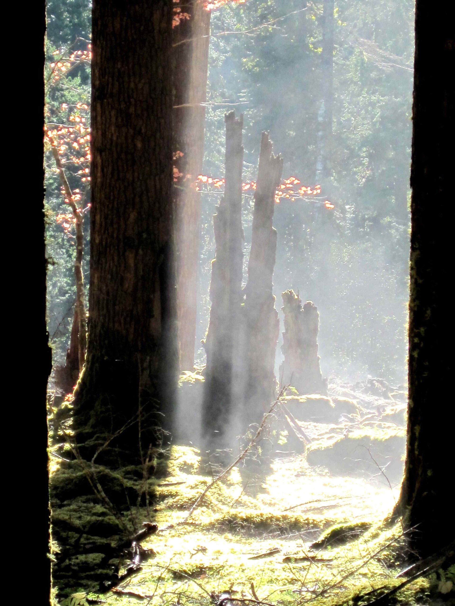
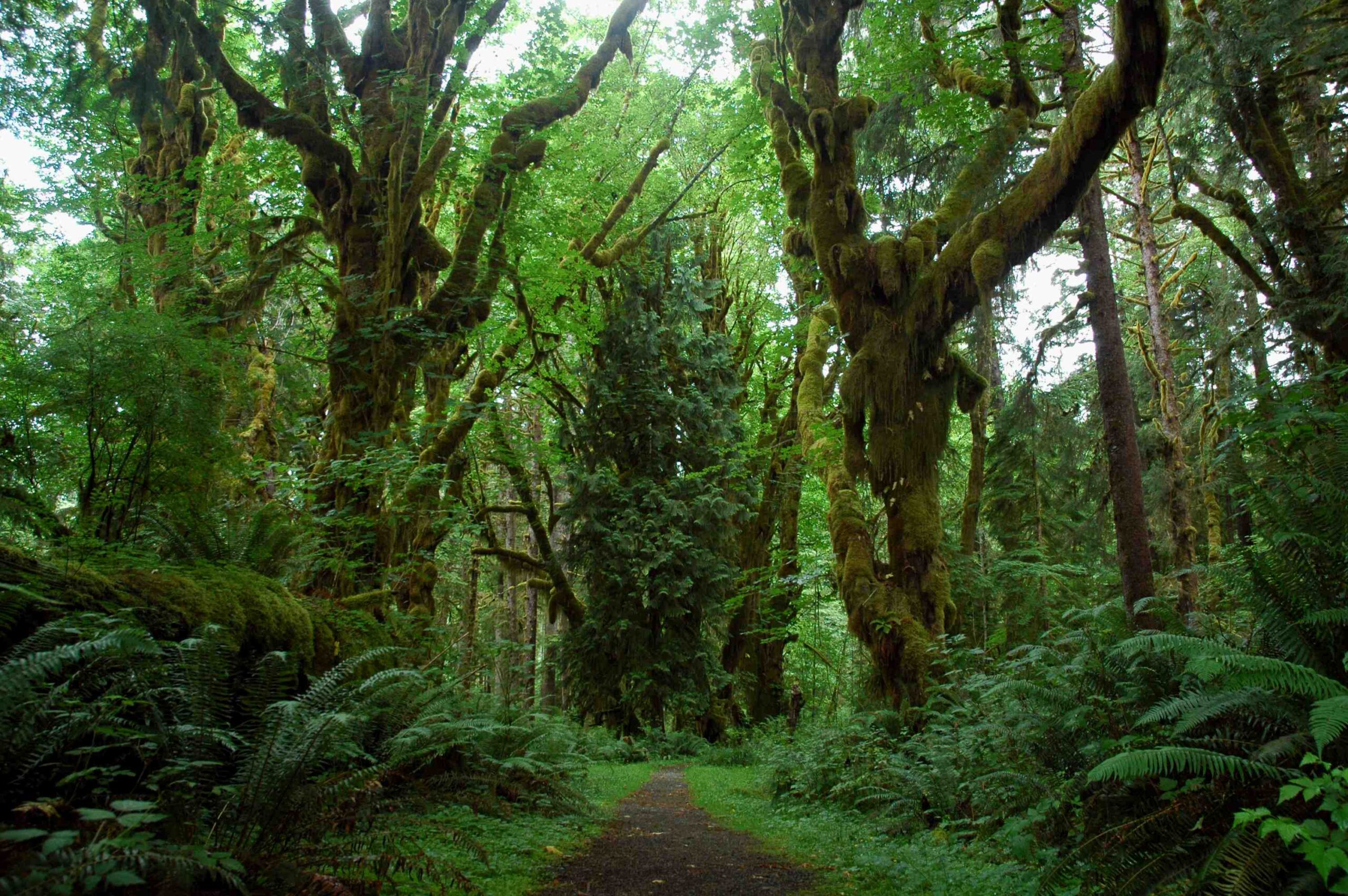
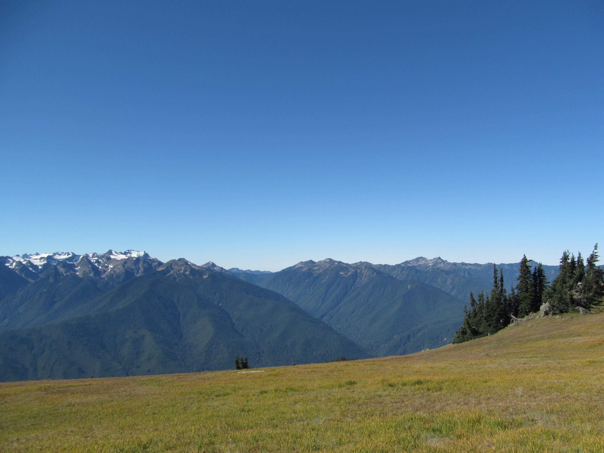
The Olympic National Park trail map is an essential tool for exploring the diverse landscapes of this stunning wilderness area. From lush rainforests to rugged coastlines and alpine meadows, the park offers a wide range of hiking experiences. The official trail map provides detailed information on park roads, entrances, lakes, major trails, and important facilities, helping visitors plan their adventures and navigate safely through the park’s vast terrain.
What Does the Olympic National Park Trail Map Include?

The Olympic National Park trail map is a comprehensive guide that includes:
- Park roads and entrances
- Major hiking trails
- Lakes and rivers
- Ranger stations
- Campgrounds and wilderness campsites
- Interpretive trails
- Boat launches
- Picnic areas
- Restroom facilities
- Accessible areas
The map also provides general tide warnings for beach areas, which is crucial for coastal hikers.
Where Can I Find the Olympic National Park Trail Map?

The Olympic National Park trail map is available in several formats:
- PDF downloads from the National Park Service website
- Printed maps at park visitor centers
- Third-party topographic maps (e.g., National Geographic Trails Illustrated Map Pack)
PDF Format Availability
You can download the following maps in PDF format from the National Park Service website:
- Official park map
- Wilderness map
- Specific area maps (e.g., Hurricane Ridge, Hoh Rain Forest)
These PDF maps are free and can be easily accessed on your mobile device or printed for offline use.
Printed Maps at Visitor Centers
Physical copies of the trail map are available at park visitor centers. These are often more durable and can be a reliable backup to digital versions.
Third-Party Topographic Maps
For more detailed topographic information, consider purchasing the National Geographic Trails Illustrated Map Pack. These maps are:
- Printed on waterproof, tear-resistant material
- Clearly marked with trails, scenic views, and points of interest
- More detailed than the standard park maps
What Are the Best Hiking Trails in Olympic National Park?
Olympic National Park offers a diverse range of hiking trails. Here are some of the best:
- Hurricane Hill Trail
- Length: 3.2 miles round trip
- Elevation Gain: 700 feet
- Difficulty: Moderate
-
Highlights: Panoramic views of the Strait of Juan de Fuca and surrounding mountains
-
Hoh River Trail to Blue Glacier
- Length: 17.3 miles round trip
- Elevation Gain: 4,500 feet
- Difficulty: Strenuous
-
Highlights: Hoh Rainforest, spectacular glacier views
-
Marymere Falls Trail
- Length: 1.7 miles round trip
- Elevation Gain: 500 feet
- Difficulty: Easy to Moderate
-
Highlights: Picturesque waterfall in a lush forest setting
-
Ozette Loop Trail
- Length: 9.4 miles round trip
- Elevation Gain: 300 feet
- Difficulty: Moderate
-
Highlights: Coastal scenery, beach walking, ocean views
-
Quinault Rainforest Nature Trail
- Length: 0.5 miles loop
- Elevation Gain: Minimal
- Difficulty: Easy
- Highlights: Wheelchair accessible, interpretive signs, diverse rainforest flora and fauna
How Do I Interpret Trail Conditions on the Map?
Understanding trail conditions is crucial for a safe and enjoyable hiking experience. Here’s how to interpret the information on the Olympic National Park trail map:
- Trail Difficulty: Trails are often color-coded or labeled to indicate difficulty level (easy, moderate, strenuous).
- Elevation Profile: Look for contour lines to understand the terrain’s steepness.
- Distance Markers: Use these to plan your hike’s duration and difficulty.
- Symbols: Familiarize yourself with map symbols indicating campsites, water sources, and points of interest.
What Should I Know About Trail Accessibility?
Trail accessibility varies widely in Olympic National Park:
- Easy Trails: Trails like the Quinault Rainforest Nature Trail are wheelchair accessible and suitable for all skill levels.
- Moderate Trails: Trails such as Hurricane Hill offer a balance of challenge and accessibility.
- Strenuous Trails: Longer trails like Hoh River Trail to Blue Glacier require advanced hiking skills and proper preparation.
Always check the trail descriptions and difficulty ratings before setting out.
Are There Any Current Trail Closures or Maintenance Updates?
Trail conditions in Olympic National Park can change due to weather, maintenance, or other factors. To stay informed:
- Check the National Park Service website for current alerts and conditions.
- Visit a park visitor center for up-to-date information from rangers.
- Be aware of seasonal closures, especially for high-elevation trails in winter.
What Amenities Are Available Near Trailheads?
The Olympic National Park trail map indicates various amenities near trailheads:
- Parking: Available at most trailheads, but can be limited during peak season.
- Restrooms: Often located at or near trailheads.
- Picnic Areas: Some trailheads offer picnic facilities.
- Food and Lodging: Available near some popular trails, but not all.
- Ranger Stations: Provide information, permits, and assistance.
Do I Need Any Permits or Passes for Hiking?
Permit and pass requirements vary depending on the trail and your planned activities:
- Day Hikes: Generally do not require permits, but some areas may require a Northwest Forest Pass for parking.
- Overnight Wilderness Camping: Requires a wilderness permit.
- Backcountry Camping: May require additional permits or reservations.
Always check the specific requirements for your planned route and activities.
How Can I Stay Safe While Hiking in Olympic National Park?
Safety is paramount when exploring Olympic National Park. Here are some key tips:
- Always carry the Olympic National Park trail map and know how to read it.
- Inform someone of your hiking plans and expected return time.
- Carry essential gear, including water, food, first-aid kit, and appropriate clothing.
- Be aware of wildlife and follow park guidelines for animal encounters.
- Check weather forecasts and be prepared for sudden changes.
- Stay on marked trails to protect both yourself and the park’s ecosystem.
By using the Olympic National Park trail map effectively and following these guidelines, you can enjoy a safe and memorable hiking experience in one of America’s most diverse and beautiful national parks.
References:
1. https://www.myolympicpark.com/park/national-park-maps/olympic-national-park-map-pdf/
2. https://www.nps.gov/olym/planyourvisit/maps.htm
3. https://www.nps.gov/olym/planyourvisit/upload/wildernessmap.pdf

