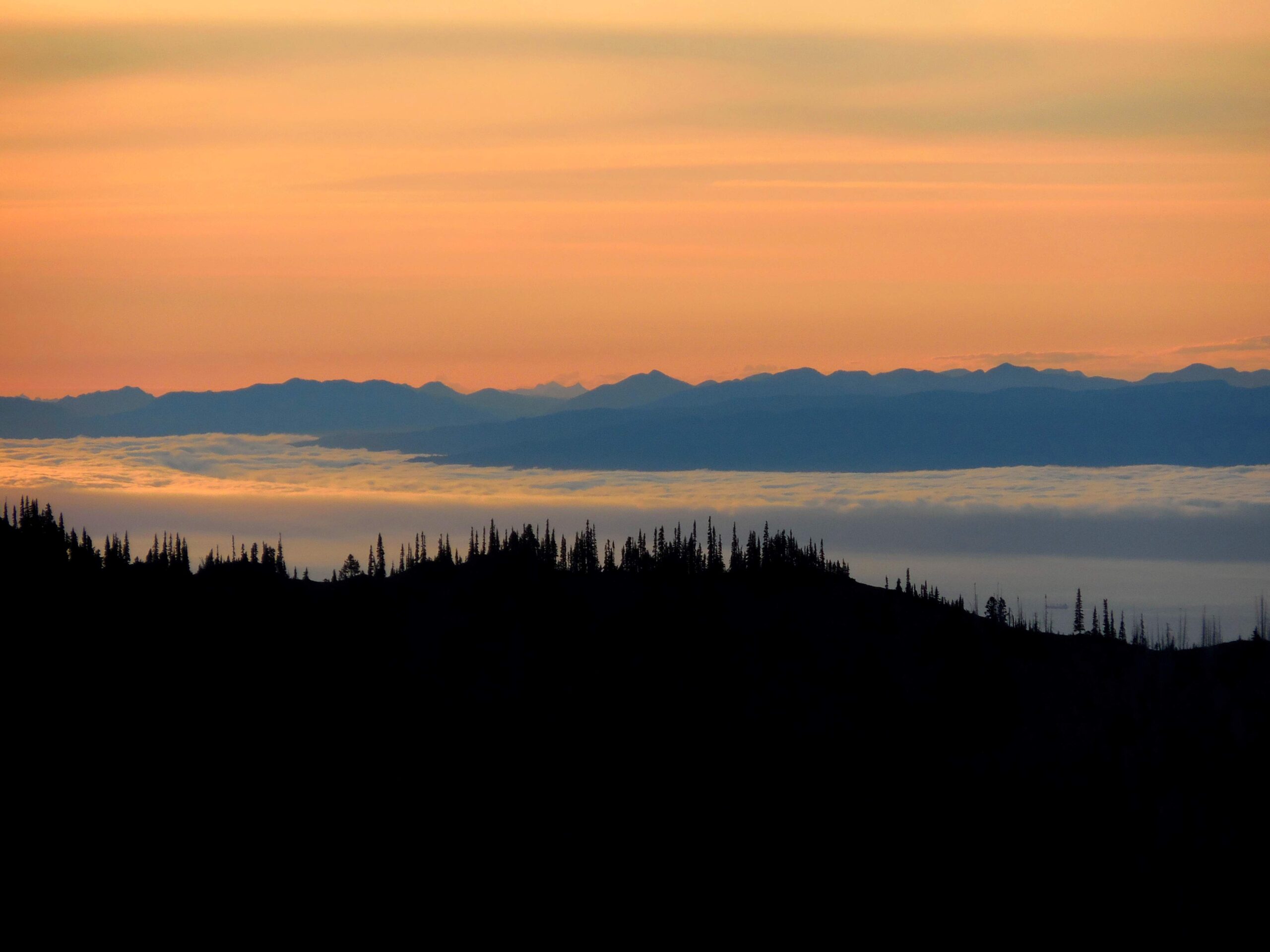
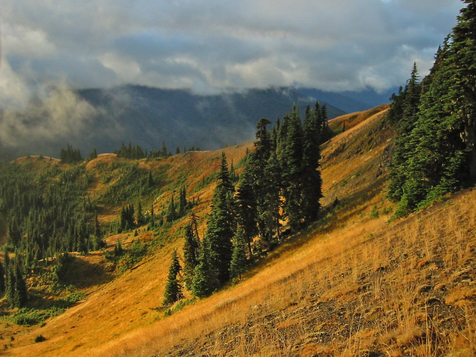
Olympic National Park is renowned for its diverse and dramatic landforms, ranging from rugged mountains to pristine coastlines. The park’s unique geological features include the towering Olympic Mountains, glacially carved valleys, lush temperate rainforests, and a wild Pacific coastline. These landforms have been shaped by millions of years of tectonic activity, glaciation, and erosion, resulting in a landscape of unparalleled beauty and ecological significance.
What Are the Major Landforms in Olympic National Park?

Olympic Mountains
The Olympic Mountains form the backbone of the park, with Mount Olympus standing as the highest peak at 7,980 feet (2,428 meters). These mountains are characterized by:
- Highly folded and disrupted sedimentary and metamorphic rocks
- Basalt from the Crescent Formation along the periphery
- A radial drainage pattern with rivers flowing outward in all directions
Coastal Cliffs and Beaches
The park boasts a 73-mile long wilderness coast, featuring:
- Rugged beaches with high wave energy
- Dramatic sea stacks and headlands
- Unique landforms such as tombolos and glacial outwash terraces
River Valleys
Rivers originating from the Olympic Mountains have carved out significant valleys:
- The Hoh and Quillayute rivers carry massive amounts of water and sediment
- Glacial outwash terraces are prominent along the coastal areas
- These valleys support diverse ecosystems and provide important wildlife corridors
How Have Geological Processes Shaped the Park’s Landscape?

Tectonic Activity
The Olympic Peninsula’s geology is a result of complex tectonic processes:
- Subduction of oceanic plates beneath the North American continent
- Accretion of marine sediments and volcanic rocks
- Uplift and folding of rock layers to form the Olympic Mountains
Glaciation
Glaciers have played a crucial role in shaping the park’s landforms:
- Carving U-shaped valleys
- Depositing moraines and other glacial features
- Creating lakes such as Lake Crescent through glacial activity
Erosion and Weathering
Ongoing erosion processes continue to shape the landscape:
- Coastal erosion by wave action
- River erosion in valleys
- Weathering of rocks in alpine areas
What Unique Geological Formations Can Be Found in the Park?
Turbidites and Mélanges
Olympic National Park is known for its exposed turbidites and tectonic mélanges:
- Turbidites with distinctive white calcite veins
- Large mélanges with a strong petroleum odor
- Some mélanges as large as houses
Glacial Landforms
The park features extensive glacial landforms, including:
- Moraines
- Ice-walled lake plains
- Drift-mantled bedrock hills
How Do the Park’s Ecosystems Relate to Its Landforms?
Temperate Rainforests
The west side of the Olympic Peninsula is dominated by temperate rainforests:
- Receive 140 to 200 inches of rain annually
- Thrive in the valleys and lower slopes of the mountains
- Support diverse plant and animal species adapted to wet conditions
Alpine Areas
Higher elevations of the Olympic Mountains feature alpine ecosystems:
- Subalpine forests transitioning to alpine meadows
- Home to unique plant communities adapted to harsh conditions
- Provide habitat for mountain goats and other alpine wildlife
Coastal Ecosystems
The coastal region includes a variety of ecosystems:
- Sandy beaches and rocky shores
- Coastal forests adapted to salt spray and strong winds
- Intertidal zones supporting diverse marine life
What Are the Best Ways to Explore the Park’s Landforms?
Hiking Trails
Olympic National Park offers numerous hiking trails to explore its landforms:
- Hurricane Hill Trail (3.2 miles round-trip)
- Offers panoramic views of the Olympic Mountains and Strait of Juan de Fuca
-
Moderate difficulty with some elevation gain
-
Hoh River Trail
- Showcases the temperate rainforest ecosystem
-
Can be done as a day hike or multi-day backpacking trip
-
Rialto Beach to Hole-in-the-Wall
- Coastal hike featuring sea stacks and tidal pools
- 4 miles round-trip, best done at low tide
Scenic Drives
For those who prefer to explore by car, the park offers scenic drives:
- Hurricane Ridge Road: Provides access to alpine areas and mountain views
- Sol Duc Road: Leads to old-growth forests and Sol Duc Falls
- Coastal Route 101: Offers glimpses of the park’s coastal landforms
Ranger-Led Programs
Park rangers offer educational programs to help visitors understand the park’s geology:
- Guided hikes focusing on geological features
- Evening campfire talks about the park’s formation
- Junior Ranger programs for young geologists-in-training
What Should Visitors Know Before Exploring Olympic National Park’s Landforms?
Safety Considerations
When exploring the park’s diverse landforms, keep these safety tips in mind:
- Be prepared for rapidly changing weather conditions
- Carry appropriate gear for hiking and backcountry travel
- Check tide tables before exploring coastal areas
- Be aware of wildlife and practice proper food storage
Permits and Regulations
Certain activities in the park require permits:
| Activity | Permit Required | Where to Obtain |
|---|---|---|
| Backcountry Camping | Yes | Wilderness Information Centers |
| Fishing | Yes (in some areas) | Park Visitor Centers |
| Tidepooling | No, but guidelines apply | N/A |
Best Times to Visit
The park’s landforms can be explored year-round, but consider these factors:
- Summer (July-August): Best for high-country hikes and wildflower viewing
- Fall (September-October): Less crowded, good for coastal exploration
- Winter (November-March): Limited access to some areas, but great for storm watching on the coast
- Spring (April-June): Waterfalls at peak flow, wildlife more active
By understanding and respecting the diverse landforms in Olympic National Park, visitors can fully appreciate the geological wonders that make this park a unique and treasured natural resource.

