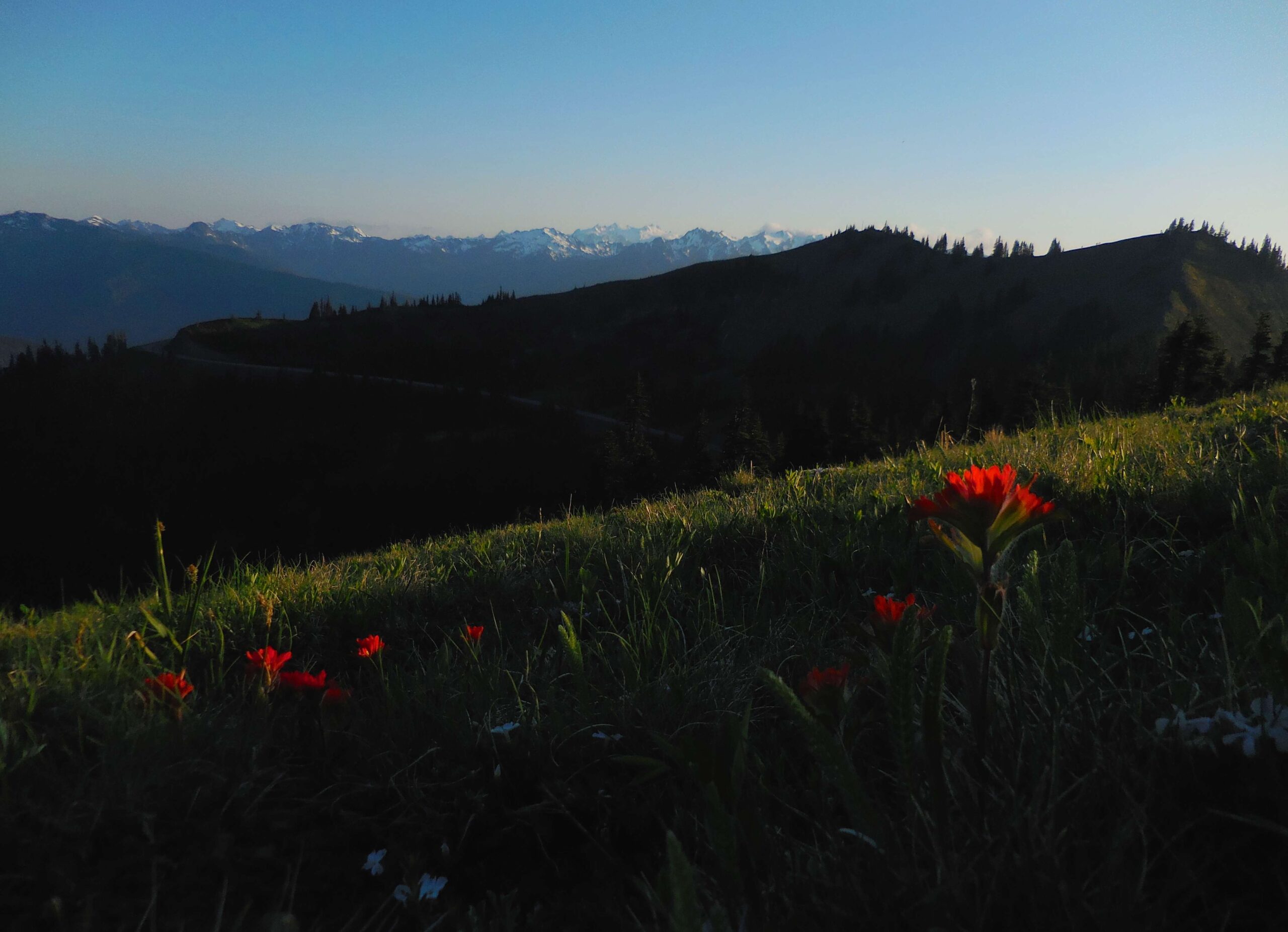
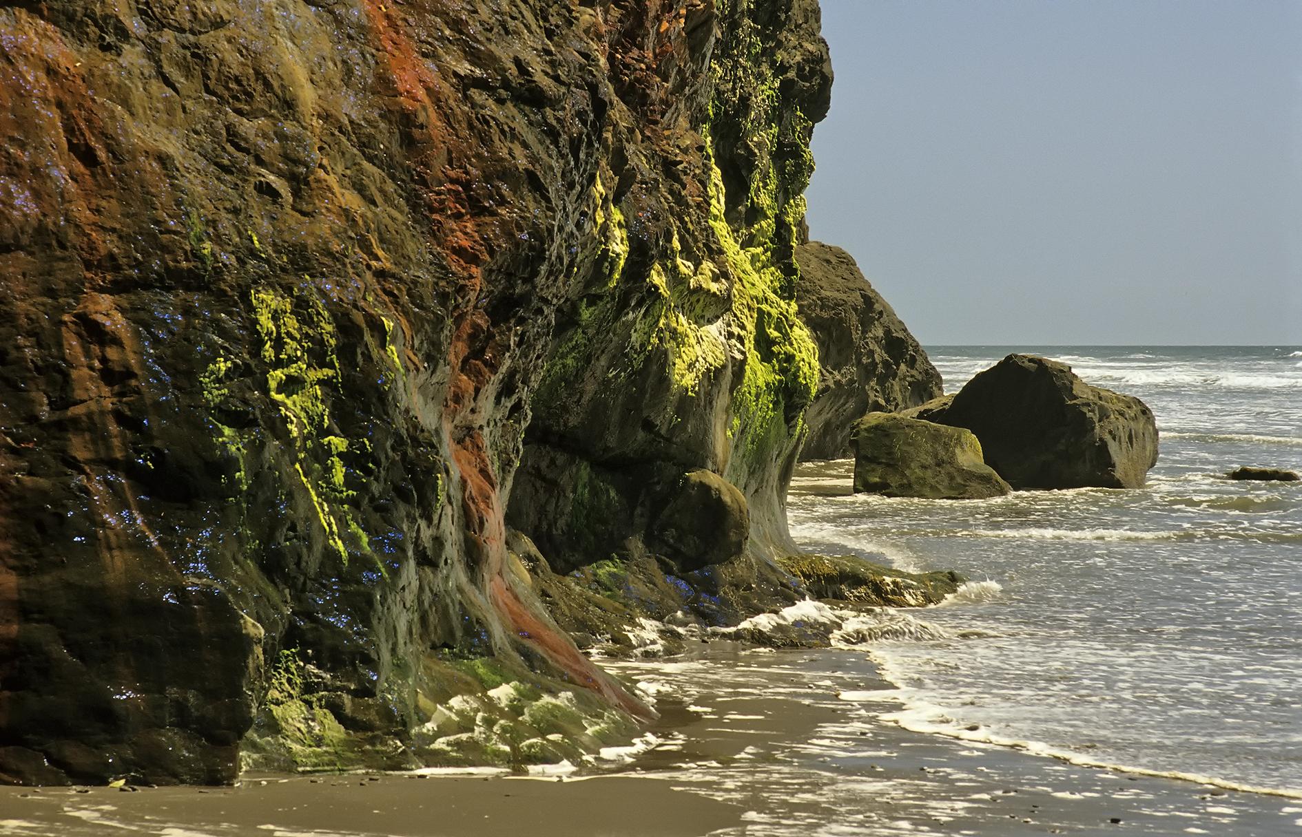
Olympic National Park offers a diverse range of hiking paths, from easy nature walks to challenging backcountry treks. The park’s unique ecosystems include rugged coastlines, lush rainforests, and alpine meadows. Hikers can explore trails like Hurricane Hill, Mount Storm King, and the Hall of Mosses, each offering distinct experiences and breathtaking views. This guide provides detailed information on the best hiking paths along Olympic National Park, including trail descriptions, difficulty levels, and scenic highlights.
What Are the Top Hiking Paths in Olympic National Park?

Olympic National Park boasts an impressive array of hiking paths catering to various skill levels and interests. Here are some of the most popular trails:
- Hurricane Hill Trail
- Mount Storm King
- Hall of Mosses
- Spruce Nature Trail
- Rialto Beach to Hole-in-the-Wall
- High Divide Trail and Seven Lakes Basin Loop
- Sol Duc Falls
Let’s explore each of these trails in detail:
Hurricane Hill Trail
- Distance: 3.2 miles round trip
- Elevation Gain: 650-700 feet
- Difficulty: Easy to moderate
The Hurricane Hill Trail offers panoramic views of the Olympic National Park, including the Strait of Juan de Fuca, Port Angeles, and Vancouver Island, BC. This paved route features several switchbacks leading to the summit of Hurricane Hill.
Mount Storm King
- Distance: 4.65 miles round trip
- Elevation Gain: 2,130 feet
- Difficulty: Strenuous
Mount Storm King is a challenging hike that includes a steep climb and a final scramble using ropes to reach the summit. The trail rewards hikers with spectacular views of Lake Crescent.
Hall of Mosses
- Distance: 0.8 miles loop
- Elevation Gain: Minimal
- Difficulty: Easy
This short, easy walk through the Hoh Rainforest is known for its ancient trees and extensive moss growth. It’s an excellent option for families and those looking for a quick nature immersion.
Spruce Nature Trail
- Distance: 1.2 miles loop
- Elevation Gain: Minimal
- Difficulty: Easy
The Spruce Nature Trail offers views of the Hoh Rainforest and the Hoh River. It’s less crowded than the Hall of Mosses trail and provides a serene forest experience.
Rialto Beach to Hole-in-the-Wall
- Distance: 4 miles round trip
- Elevation Gain: Minimal
- Difficulty: Easy to moderate
This coastal hike takes you along Rialto Beach, offering views of the Pacific Ocean, sea stacks, and tide pools. The highlight is the opportunity to walk through the rocky arch at Hole-in-the-Wall during low tide.
High Divide Trail and Seven Lakes Basin Loop
- Distance: 18 miles round trip
- Elevation Gain: 3,000 feet
- Difficulty: Challenging
This loop trail includes old-growth forests, waterfalls, lakes, and alpine views. It’s a full-day hike with the option to camp overnight in the Seven Lakes Basin.
Sol Duc Falls
- Distance: 1.8 miles round trip
- Elevation Gain: 200 feet
- Difficulty: Easy
This family-friendly hike leads to one of the most photographed waterfalls in the Northwest. The trail is shaded by a thick forest canopy and features the roar of the falls.
Where Are the Trailheads Located and What About Parking?

Knowing where to park and start your hike is crucial for a smooth experience. Here’s information on trailhead locations and parking for some of the popular hiking paths along Olympic National Park:
| Trail | Trailhead Location | Parking Information |
|---|---|---|
| Hurricane Hill Trail | End of Hurricane Ridge Road | Park in the lot at the end of the road |
| Mount Storm King | Near Lake Crescent | Park at the Marymere Falls parking lot |
| Hall of Mosses & Spruce Nature Trail | Hoh Rainforest | Both trails start from the same parking lot |
| Rialto Beach to Hole-in-the-Wall | Rialto Beach | Parking available at Rialto Beach |
What Amenities Are Available Near the Trails?
Hikers should be aware of the amenities available near the trails:
- Hurricane Ridge: The Hurricane Ridge Visitor Center offers restrooms, drinking fountains, and loaner wheelchairs.
- Hoh Rainforest: The Hoh River Visitors Center provides information and amenities.
- Accommodations: Kalaloch Lodge and Lake Crescent Lodge have wheelchair-accessible rooms and dining rooms. Sol Duc Hot Springs Resort also offers accessible accommodations.
How Do Seasonal Considerations Affect Hiking?
When planning your hiking trip to Olympic National Park, consider these seasonal factors:
- The best time to visit is generally June through September when most areas are open.
- Be prepared for variable weather conditions, especially at higher elevations.
- Some trails may be closed due to weather or maintenance during off-seasons.
- Always check the National Park Service website for updated trail and road conditions before your visit.
What Are the Most Scenic Hiking Paths in Olympic National Park?
Olympic National Park offers numerous scenic hiking paths with unique viewpoints and diverse flora and fauna:
Unique Viewpoints
- Hurricane Hill: 360-degree panoramic views of the Olympic Peninsula, including the Strait of Juan de Fuca and Vancouver Island, BC.
- Mount Storm King: Spectacular views of Lake Crescent.
- Rialto Beach to Hole-in-the-Wall: Ocean and forested island views, sea stacks, and tide pools.
Flora and Fauna
- Hoh Rainforest: Ancient trees, extensive moss growth, and potential black bear sightings.
- Spruce Railroad Trail: Views of Lake Crescent and surrounding forest, with opportunities to see bald eagles and marine mammals.
Recommended Times for Optimal Scenery
- Early Morning: Ideal for rainforest hikes like the Hall of Mosses and Spruce Nature Trail to avoid crowds and enjoy the misty atmosphere.
- Late Afternoon: Best for beach hikes like Rialto Beach to Hole-in-the-Wall to enjoy the sunset and low tide.
Where Can I Find Comprehensive Trail Maps for Olympic National Park?
Obtaining accurate trail maps is essential for a safe and enjoyable hiking experience. Here’s where you can find comprehensive trail maps for Olympic National Park:
- National Park Service Website: Download and print trail maps from the official Olympic National Park website.
- Visitor Centers: Maps are available at the Olympic (Port Angeles), Hurricane Ridge, and Hoh Rainforest Visitor Centers.
- Digital Resources:
- AllTrails: Offers digital maps and reviews of trails within Olympic National Park.
- 57hours: Provides detailed descriptions and maps of various hikes in the park.
Trail Markers and Navigation Tips
- Trails are well-marked with signs and trailheads clearly indicated.
- It’s recommended to bring a map, compass, and GPS device or smartphone with a GPS app.
- Be mindful of weather conditions and potential closures.
By following this comprehensive guide to hiking paths along Olympic National Park, you’ll be well-prepared to explore the diverse landscapes and breathtaking scenery this unique wilderness area has to offer. Remember to always practice Leave No Trace principles and respect the natural environment during your adventures.
References:
1. Earth Trekkers – 17 Great Hikes in Olympic National Park
2. Olympic Peninsula – Top 10 Day Hikes on the Olympic Peninsula
3. 57hours – The Five Best Olympic National Park Hikes to See It All

