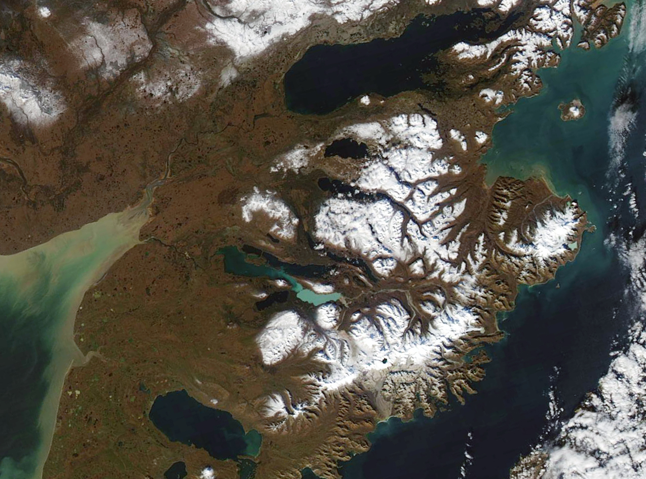
Katmai National Park, located on the Alaska Peninsula, is home to a cluster of 14 active volcanoes, including Mount Katmai, Trident Volcano, Mount Mageik, Mount Martin, and Mount Griggs. These volcanoes are part of the Quaternary volcanic front, with Mount Griggs being the only rear-arc volcano located 12 km behind the main volcanic front.
What are the Geological Features of Katmai National Park Volcanoes?

Katmai National Park is home to a diverse array of volcanic features, each with its own unique geological characteristics:
Mount Katmai
Mount Katmai is a stratovolcano with a central lake-filled caldera formed during the Novarupta eruption of 1912. The caldera rim reaches a maximum elevation of 6,716 feet (2,047 m).
Trident Volcano
Trident Volcano is known for its recent eruptions, including a new vent that was active from 1953 to 1974.
Mount Mageik
Mount Mageik is an andesite-dacite stratovolcano with a history of Holocene eruptions.
Mount Martin
Mount Martin is another andesite-dacite stratovolcano with Holocene eruptions.
Mount Griggs
Mount Griggs is a fumarolically active andesitic stratovolcano standing alone 12 km behind the main volcanic front.
What is the Eruption History of Katmai National Park Volcanoes?

Katmai National Park has a rich and diverse eruption history, with several significant events:
The Novarupta Eruption (1912)
The Novarupta eruption in 1912 was the largest volcanic eruption of the 20th century, producing 3.5 cubic miles of ash and causing widespread destruction.
Mount Katmai Eruptions
Mount Katmai has experienced at least 20 eruptive episodes, including a large explosive event about 23,000 years ago and several smaller eruptions between 16,000 and 12,000 years ago.
Recent Activity
In recent years, steam explosions from Fourpeaked volcano in 2006 and prolonged vigorous steaming from Kukak volcano have been observed.
What are the Specific Data Points about Katmai National Park Volcanoes?
Volcanic Volume
The 1912 Novarupta eruption produced at least 17 km3 of fall deposits and 11±3 km3 of ash-flow tuff, representing a magma volume of about 13 km3.
Caldera Collapse
The collapse of Mount Katmai’s summit area formed a caldera, which has since filled with a lake.
References
- Geologic Map of the Katmai Volcanic Cluster, Katmai National Park, Alaska
- Novarupta Volcano | Katmai National Park – Alaska.org
- Katmai National Park Volcanoes
