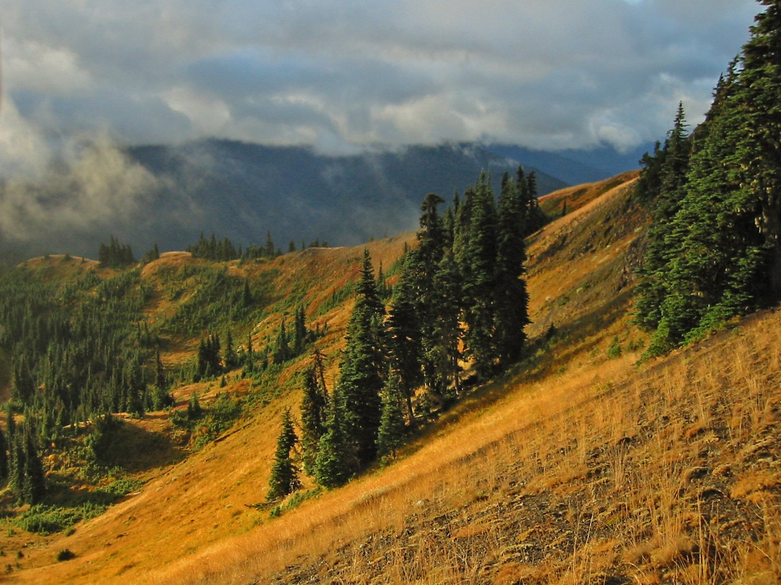
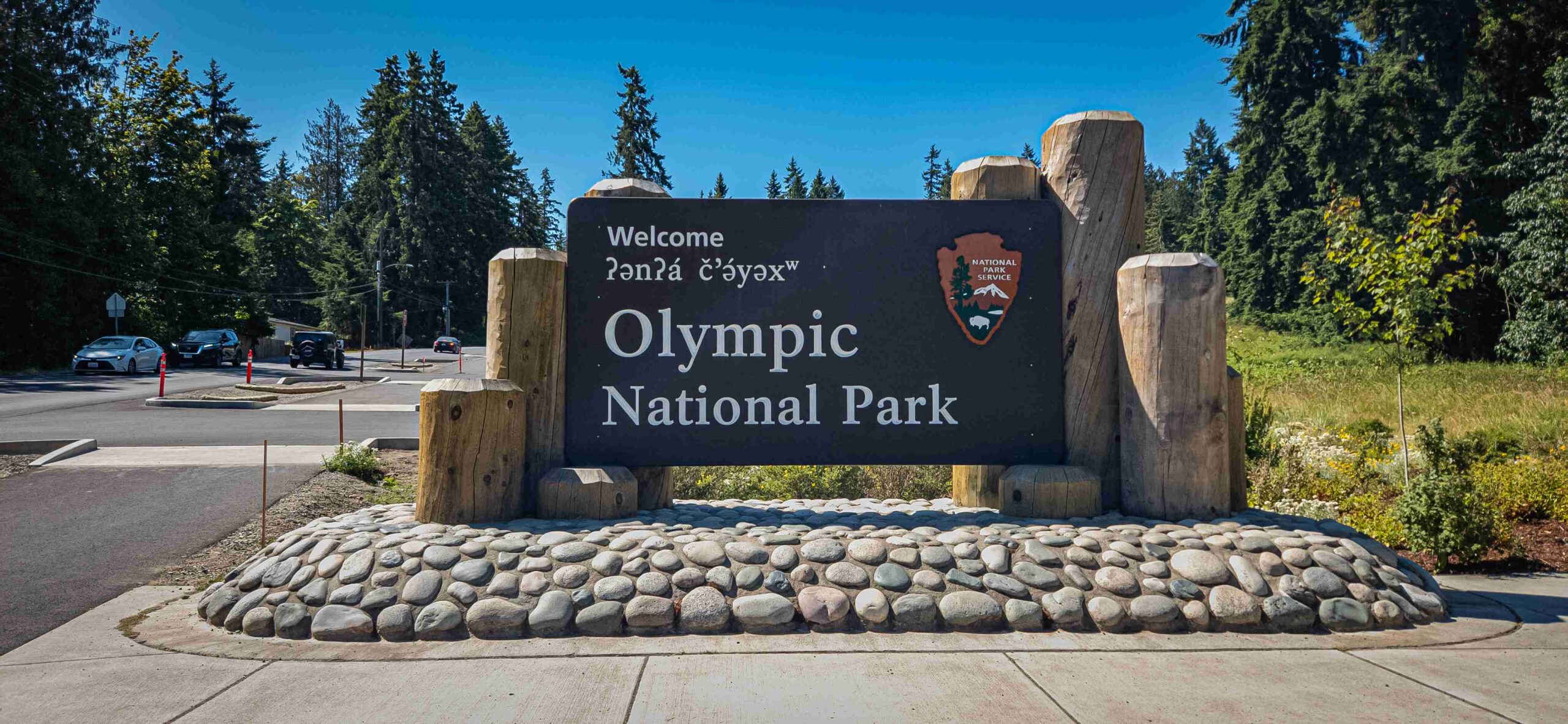
Olympic National Park, located in Washington State, spans nearly a million acres of diverse ecosystems. The park’s GPS coordinates are 47.802109° N latitude and -123.604355° W longitude. These coordinates serve as a central reference point for the park, which encompasses rugged coastlines, lush rainforests, and alpine peaks. Visitors can use these coordinates for general navigation, but specific locations within the park have their own unique coordinates for more precise navigation.
What Are the Exact GPS Coordinates for Olympic National Park?

The exact GPS coordinates for Olympic National Park are:
- Decimal Degrees:
- Latitude: 47.802109
-
Longitude: -123.604355
-
Degrees, Minutes, and Seconds (DMS) Format:
- Latitude: 47° 48′ 7.5924” N
- Longitude: 123° 36′ 15.6780” W
These coordinates represent the general location of the park. However, due to its vast size, visitors often need more specific coordinates for various attractions and entry points.
Where Are the Key Visitor Centers Located?

Olympic National Park has several visitor centers, each serving different areas of the park. Here are the GPS coordinates for three main visitor centers:
- Hurricane Ridge Visitor Center:
- Latitude: 47.9773° N
-
Longitude: 123.4883° W
-
Hoh Rainforest Visitor Center:
- Latitude: 47.8743° N
-
Longitude: 123.9333° W
-
Kalaloch Visitor Center:
- Latitude: 47.6053° N
- Longitude: 124.3708° W
These visitor centers offer information, exhibits, and serve as starting points for many popular trails and attractions.
What Are the Coordinates for Popular Trails and Viewpoints?
Olympic National Park offers a variety of trails and viewpoints. Here are the GPS coordinates for some popular locations:
| Location | Latitude | Longitude |
|---|---|---|
| Hurricane Ridge Trailhead | 47.9773° N | 123.4883° W |
| Hoh River Trailhead | 47.8743° N | 123.9333° W |
| Ruby Beach | 47.7103° N | 124.4333° W |
| Lake Crescent | 48.0667° N | 123.7833° W |
These coordinates can be entered into GPS devices or smartphone apps for navigation to specific areas within the park.
How Can Visitors Use GPS Coordinates for Navigation?
To effectively use GPS coordinates in Olympic National Park:
- Choose a reliable GPS device or smartphone app that supports both decimal degrees and DMS formats.
- Download offline maps before entering the park, as cell service can be limited in many areas.
- Enter the coordinates of your desired destination into your device or app.
- Follow the navigation instructions, but always be aware of your surroundings and park signage.
- Carry a physical map and compass as a backup in case of technology failure.
Remember that GPS should be used as a tool in conjunction with other navigation methods and common sense.
What Are the Geographic Features Surrounding Olympic National Park?
Olympic National Park is situated in a unique geographic location:
- It occupies most of the Olympic Peninsula in northwestern Washington State.
- The park is bordered by the Pacific Ocean to the west.
- To the north lies the Strait of Juan de Fuca.
- The park is surrounded by the Olympic National Forest.
- Several Native American reservations are located near the park, including the Makah, Quileute, Hoh, and Quinault Indian Tribes.
Understanding the park’s geographic context can help visitors plan their trip and appreciate the diverse ecosystems they’ll encounter.
What Accessibility Considerations Should Visitors Keep in Mind?
When planning a visit to Olympic National Park using GPS coordinates, consider the following accessibility factors:
- Cell Phone Reception: Many areas of the park have limited or no cell service. Download maps and important information beforehand.
- Road Conditions: Some roads may be seasonal or require four-wheel drive vehicles. Check current conditions before travel.
- Trail Accessibility: While many trails are well-maintained, some may be challenging or inaccessible for visitors with mobility issues. Research trail conditions in advance.
- Visitor Center Facilities: Most visitor centers offer accessible facilities, including restrooms and parking. Some also provide assistive listening devices or wheelchair loans.
Always check the official Olympic National Park website or contact park rangers for the most up-to-date accessibility information.
How Do Seasonal Changes Affect Navigation in Olympic National Park?
Olympic National Park experiences significant seasonal changes that can affect navigation:
- Winter (December – February):
- Some roads and trails may be closed due to snow.
-
GPS coordinates remain the same, but accessibility to certain areas may be limited.
-
Spring (March – May):
- Melting snow can cause high water levels in rivers and streams.
-
Some trails may still be snow-covered at higher elevations.
-
Summer (June – August):
- Most areas of the park are accessible.
-
Popular destinations may be crowded, affecting travel times.
-
Fall (September – November):
- Early snowfall may affect high-elevation areas.
- Fewer daylight hours can impact hiking and outdoor activities.
Always check current conditions and adjust your GPS-guided plans accordingly based on the season of your visit.
By understanding and effectively using Olympic National Park GPS coordinates, visitors can navigate this vast and diverse park with greater ease and confidence. Remember to always prioritize safety and follow park guidelines when exploring this natural wonder.
References:
1. https://www.latlong.net/place/olympic-national-park-port-angeles-wa-usa-19797.html
2. https://latitude.to/map/us/united-states/natural-parks/10/olympic-national-park
3. https://olympiccoast.noaa.gov/protect/regulations/boundarymap.html

